
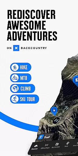
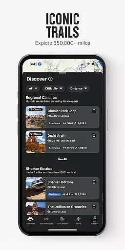
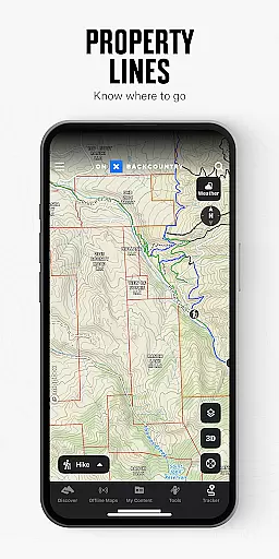
onX Backcountry Trail Maps GPS is the ultimate app for outdoor enthusiasts who want to explore new trails and backcountry skiing lines. With HD topographic maps, GPS tracking, and weather forecasts, users can confidently navigate through hikes, climbing routes, and mountain bike trails even without cell service.
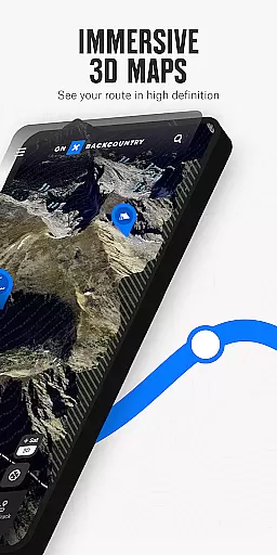
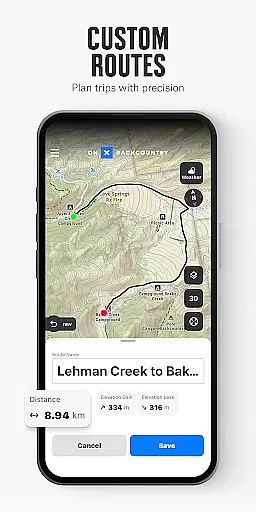
The app offers powerful map tools including 3D visualization, custom route planning, and detailed terrain features. Whether you're hiking, skiing, biking, or climbing, onX Backcountry provides specialized map modes and data layers to enhance your adventure experience. From wildfire alerts to avalanche forecasts, this app ensures you stay safe while exploring the great outdoors.
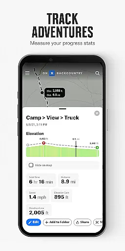
Perfect for scouting new terrain or navigating in the field, onX Backcountry allows users to download maps for offline use and track their trips with precise stats. Its comprehensive feature set makes it an indispensable tool for all-season outdoor activities.
onX Backcountry stands out with its robust feature set tailored for outdoor adventures. The app provides multiple map views including 3D, HD topo, satellite imagery, and hybrid modes, allowing users to visualize terrain in detail. Custom map routes make hiking, skiing, biking, and climbing easier and more enjoyable.
One of the key highlights is the ability to navigate offline. Users can download 3D maps with interactive trail data, turning their phones into handheld GPS devices. The app tracks location and provides real-time stats such as distance and elevation gain, ensuring users can explore remote areas confidently.
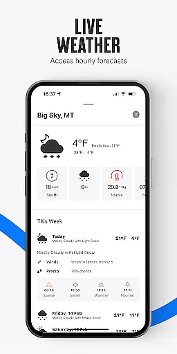
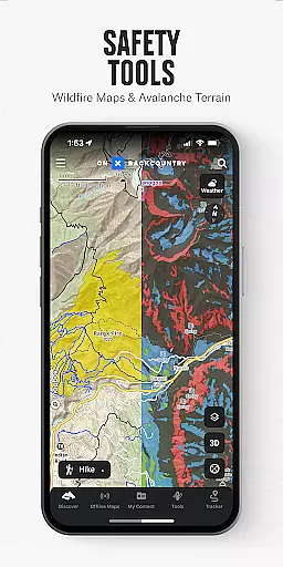
Safety features are also a major focus. With localized weather conditions, 7-day forecasts, and hourly wind data, users can plan ahead and stay informed. Additional layers for hazards like wildfires and avalanches, combined with tools like the compass and trail reports, ensure users are well-prepared for any adventure.
onX Backcountry Trail Maps GPS sets a new standard for gameplay realism and physics accuracy in outdoor navigation apps. The app's high-definition topographic maps, combined with detailed slope data and real-time GPS tracking, create an immersive experience that mirrors the physical world with stunning precision.
The app's meticulous attention to terrain features ensures users can rely on accurate elevation readings and slope angles, which are critical for activities like backcountry skiing and mountain biking. This level of detail allows adventurers to plan their routes with confidence, knowing the information reflects real-world conditions.
Furthermore, the snap-to-trail feature and 3D map visualizations enhance the authenticity of the experience by providing intuitive tools that seamlessly integrate with the natural environment. Users can explore trails and plan trips with the assurance that the app's physics engine aligns with actual geographical data.
By delivering such a realistic representation of outdoor terrains, onX Backcountry empowers users to navigate challenging landscapes safely and efficiently, making it an indispensable tool for sports enthusiasts who demand the highest degree of accuracy in their adventures.
Intuitive control schemes are at the heart of onX Backcountry Trail Maps GPS, ensuring that users can easily interact with its sophisticated mapping features. The app offers a user-friendly interface that simplifies complex tasks such as setting waypoints, measuring distances, and toggling between different map layers, all of which are essential for effective navigation.
With just a few taps, adventurers can access localized weather forecasts, switch between various activity modes like hiking or skiing, and even download maps for offline use. This streamlined approach to functionality enables users to focus on their activities without being distracted by complicated controls.
The app also includes innovative features such as the blue dot GPS tracking and compass orientation, which provide clear visual cues for maintaining direction. These elements contribute to an instinctive user experience that minimizes the learning curve typically associated with advanced GPS tools.
Ultimately, the intuitive design of onX Backcountry enhances user engagement by allowing both novice and experienced explorers to harness the full potential of the app's capabilities, leading to more successful and enjoyable outdoor pursuits.
Comprehensive map data
Offline navigation
Real-time GPS tracking
Detailed weather forecasts
Multiple outdoor activities supported
Premium subscription required
Some features are Elite-only
Large app size
Complex interface for beginners
Limited international coverage

Retro Basketball Simulation
 4.80
4.80
Very fun billiards game.
4.60
Play darts against the world!
4.70
Pro Freestyle Football
3.20
Basketball Team Management Sim Coach a custom team and dunk your way to glory!
4.70
Relive the second baseball game in the Backyard Sports franchise!
4.00
Master your shots and climb the ranks in the ultimate golf game!
4.30
Realistic PvP Multiplayer Dart game blending sports games and simulation fun!
4.50
The My Epic app unlocks the mountain and elevates your experience.
3.90
Score as a Super Star in Football Strike: Action Multiplayer Online Soccer Game!
4.70
Grab the ball and play your Basketball career in this 3D Real-time Sport Game!
4.60
Shoot, score, and outplay your rival in a fast-paced basketball battle duel!
4.60
Play the World's Soccer Game Anywhere with Premier League, UCL & LALIGA stars.
4.60
Manage your lineup of NBA and WNBA stars on the go with the NBA 2K26 MyTEAM app.
4.50
Ice Fishing Derby - It's the fun of ice fishing without the frostbite
4.40
Feel the thrill of American football: guide a team to triumph through touchdowns
4.40
Play the 3 classic Duck Life games like you've never seen them before!
4.10
Build your football city, train your team— no ads, no in-app purchases!
4.2
Webcam based exercise and learning game with rock climbing!
4.4


User Reviews