


The Hanalei River app is a specialized weather tool designed for residents and visitors of Kaua'i. It provides real-time river gauge height information, crucial during heavy rains. The app also features access to the Hanalei Initiative's road camera, allowing users to check road conditions.
With upcoming features like tide data, push notifications for rising water levels, and river gauge data for all Kaua'i rivers, this app is set to become an indispensable resource for staying informed about local weather and safety conditions.
Hanalei River stands out with its focused feature set tailored to Kaua'i's unique environment. The app offers quick access to the Hanalei river gauge height, essential for assessing flood risks during heavy rainfall.
In addition to river data, the app provides a live road camera feed from the Hanalei Initiative. This allows users to determine if roads are accessible, enhancing safety and convenience. Future updates promise tide data, notifications for rising waters, and expanded river gauge coverage across Kaua'i.
Accurate weather forecasting is essential for residents and visitors of Kaua'i, especially during heavy rains. The Hanalei River app provides reliable gauge height data, ensuring users can make informed decisions about their safety.
The app sources its information directly from trusted local resources, maintaining high data credibility. This ensures that the river height readings are not only timely but also precise, giving users confidence in the information they receive.
By offering real-time updates and accurate gauge measurements, the app empowers users to respond promptly to changing weather conditions. Whether planning a trip or monitoring potential flood risks, this level of accuracy proves invaluable.
Understanding both the temporal and spatial aspects of weather forecasts is crucial for effective planning. The Hanalei River app excels in providing comprehensive coverage across Kaua'i, with plans to expand river gauge data to all local rivers.
Users can currently monitor the Hanalei river's status and view road cameras to assess accessibility. This spatial awareness helps residents and tourists navigate safely during unpredictable weather patterns.
Looking ahead, the app will incorporate tide data and push notifications for rising water levels. These enhancements will extend the forecast range, allowing users to prepare for weather changes well in advance and ensuring they stay informed about critical environmental conditions.
Real-time river data
Road camera integration
Upcoming tide information
Push notification alerts
Comprehensive river coverage
Limited to Kaua'i region
Some features not yet available
No iOS version listed
Dependent on external data sources
Basic user interface

The Weather Network TV App - Your weather when it really matters
 2.90
2.90
Most precise & accurate compass app give true North South East West directions.
3.00
Your Personal Weather Assistant
4.00
View weather widget and map. Wind direction and speed. Tides times and waves
4.70
Your Trusted Weather Companion
4.40
72-hour weather & daily forecasts with extreme weather alerts
4.60
Digital Weather Watch Face for Wear OS 5+
4.2
Precision Weather, Right at Your Fingertips
4.40
Your ultimate app for real-time weather information!
4.70
Live Weather Forecast app with acu weather radar, weather alert & weather widget
4.80
Hurricane Tracker, Rain Map
4.80
Ultimate weather forecast + moon phase for Wear OS 5+ (Pixel, Galaxy, et al.)
4.70
Check room temperature with this indoor thermometer. thermostat & hydrometer
4.70
Weather radar map, storm tracker, local forecast, live rain alerts & daily news.
4.60
NOAA radar, weather forecasts, hurricane tracking & customizable alerts.
4.50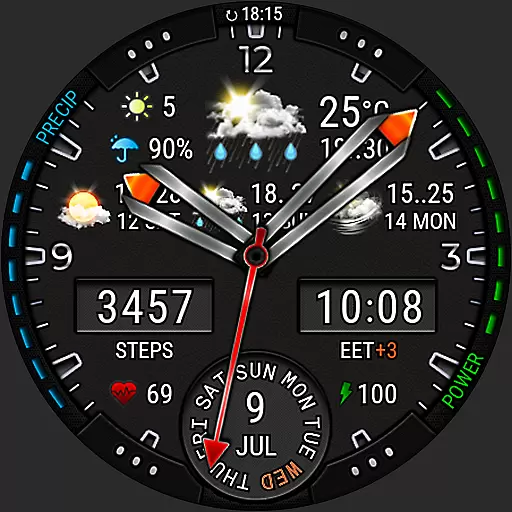
Analog Weather Watch Face for Wear OS 5+
4.10
A powerful tool for ultimate weather awareness
3.50
Instant weather updates, easy to check anytime on your home screen.
3.50
A tool that provides real-time and 5-day weather info.
4.0


User Reviews