


Zoom Earth is a premier interactive weather map application that provides real-time tracking of hurricanes, storms, and severe weather conditions. The app offers near real-time satellite imagery updated every 10 minutes, allowing users to monitor global weather patterns with precision.
In addition to its core functionality, Zoom Earth features advanced tools for wildfire tracking, rain radar, and detailed weather forecast maps. Users can explore visualizations of precipitation, wind speed, temperature, and atmospheric pressure forecasts. This comprehensive weather monitoring solution is ideal for both casual users and professionals who require accurate and timely meteorological data.
The application's ability to display high-definition satellite images and provide customizable settings makes it an invaluable tool for staying informed about environmental changes and natural disasters. Whether tracking developing hurricanes or monitoring wildfire movements, Zoom Earth delivers critical information when it matters most.
Zoom Earth stands out through its comprehensive feature set designed for weather enthusiasts and professionals alike. The app's interactive weather maps showcase multiple data layers including rain, wind, temperature, and pressure, all updated in near real-time from reliable sources like NOAA GOES and JMA Himawari satellites.
One of the app's key innovations is its hurricane tracking system, which provides clear and easy-to-understand information using the latest data from NHC, JTWC, NRL, and IBTrACS. The wildfire tracking feature utilizes NASA FIRMS data to display active fire spots and heat signatures, complemented by GeoColor satellite imagery for smoke movement monitoring.
Users can customize their experience through various settings, adjusting temperature units, wind measurements, time zones, and animation styles. The premium subscription option, Zoom Earth Pro, unlocks additional advanced features, making this application a complete solution for anyone seeking detailed and accurate weather information.
When it comes to weather applications, the accuracy of forecasts and the credibility of data sources are paramount. Zoom Earth excels in these areas by providing highly reliable weather information.
The app aggregates data from reputable sources such as NOAA GOES, JMA Himawari, and EUMETSAT Meteosat. These geostationary satellites deliver images every 10 to 15 minutes, ensuring users receive timely updates on weather conditions.
For forecasting, Zoom Earth utilizes advanced models like DWD ICON and NOAA/NCEP/NWS GFS. This ensures that whether you're checking for precipitation, wind speed, or temperature, the predictions are based on scientifically robust models.
Users benefit from this precision as they can make informed decisions regarding travel, outdoor activities, and emergency preparedness. The trustworthy data allows individuals and organizations to stay ahead of severe weather events with confidence.
A critical feature of any weather application is its ability to provide forecasts across both time and space. Zoom Earth offers extensive coverage in these dimensions, making it a versatile tool for various needs.
In terms of temporal range, the app provides continuous updates using the latest forecast model data. Users can access short-term nowcasts via Doppler radar for immediate weather insights and longer-term forecasts for planning purposes.
Spatially, Zoom Earth covers global regions with specialized maps for rain, wind, temperature, and more. This broad geographical scope is supported by high-definition satellite imagery from NASA's Aqua and Terra satellites, updated twice daily.
This comprehensive approach ensures that users worldwide have access to detailed and localized weather information. Whether tracking hurricanes or monitoring wildfires, the wide-ranging forecast capabilities empower users to respond effectively to dynamic weather patterns.
Real-time weather tracking
High-definition satellite images
Comprehensive forecast maps
Interactive user interface
Customizable settings
Premium features locked
Subscription required
Data delay present
Limited free options
Complex for beginners

A powerful tool for ultimate weather awareness
 3.50
3.50
Live Weather Forecast app with acu weather radar, weather alert & weather widget
4.80
Hourly and daily weather forecast, current condition, temperature, UV and more!
4.70
Your local weather app with storm radar, rain tracker, weather maps & AQI.
4.0
Road weather, live radar, wind, snow, and conditions along your driving route.
4.70
Local Weather provides accurate and current hourly and daily forecasts.
4.80
Download now and give your smartwatch a fresh, premium look!
4.20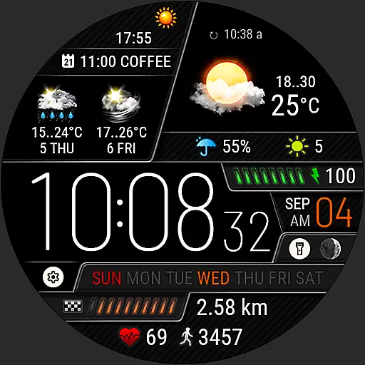
Weather watch face for Wear OS 5+
4.40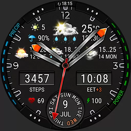
Analog Weather Watch Face for Wear OS 5+
4.10
Local weather forecast app, your personal 7*24 local weather forecast assistant.
4.90
Weather radar, hyperlocal tracker and weather maps: follow your weather station
4.80
The moon phases app for tracking the lunar calendar, blue moon and full moon.
4.80
NOAA forecast & radar for your exact location.
4.80
Weather Forecast, Trending News, Hurricane & Storm Tracker, Alerts & Live Radar.
4.80
Ultimate weather forecast + moon phase for Wear OS 5+ (Pixel, Galaxy, et al.)
4.70
Thermometer shows indoor and outdoor temperature
4.70
Your ultimate app for real-time weather information!
4.70
Hyperlocal Forecasts, Live Radar, Severe Weather alerts & Homescreen Widgets
4.30
Personal Weather Station PRO - Meteo monitor to check your WU info and charts.
4.20


User Reviews